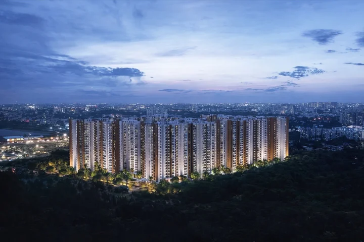
Location advantage: the Hullahalli node of Begur Koppa Road
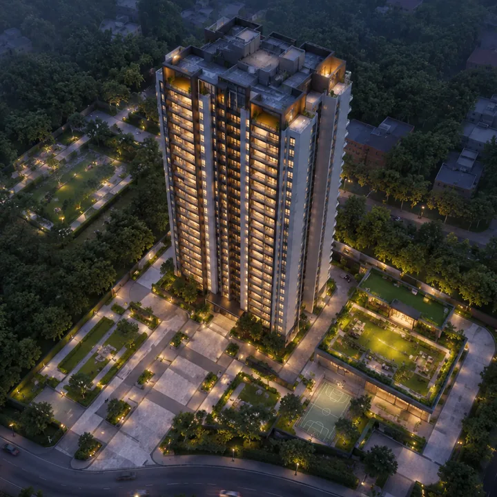
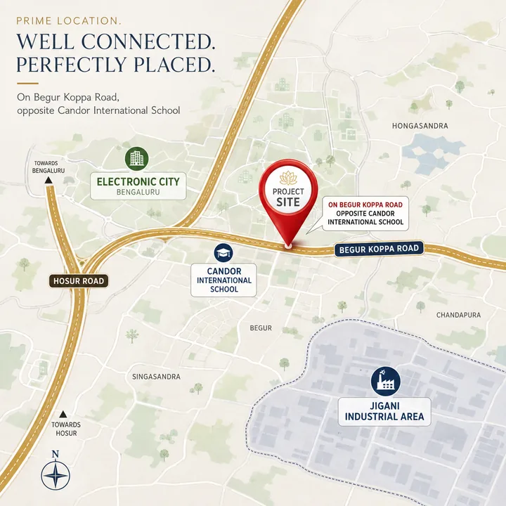
The thesis is off-arterial position. Begur Koppa Road is the belt's only continuous north-south spine, and it threads between the two largest employment corridors of South Bengaluru without sitting on either. Bannerghatta Main Road (SH-87) is 5.3 km south-west, about 6 minutes, and widened toward 155 to 160 ft on its Dairy Circle to NICE Road section. Hosur Road (NH-44) is 8.5 km east, about 14 minutes to the Electronic City Phase 1 gate. The site trades highway frontage and instant name recognition for lower land cost, a low-rise village-edge setting and a genuinely school-anchored address.
The practical daily route east is not NH-44. Begur Koppa Road runs 1.7 km north to the Neeladri Road junction, and Electronic City's western gate is 5.2 km from there — about 9 minutes in total, avoiding the Hosur Road service-road queues. That routing is what puts the Wipro campus at 7.1 km, the Infosys campus at 7.9 km and Electronic City Phase 2 at 9.1 km. Jigani Industrial Area, at 6.7 km, is closer than any of them, and it is manufacturing, engineering and pharma employment rather than IT.
The coordinates used across this site, 12.820198 and 77.621627, are Candor International School's own pin, not the project's. "Opposite" can be several hundred metres in either direction along the road, so every distance quoted here inherits that approximation, and every one will be recomputed when the project's own pin or survey numbers are published.
Building specification: what 20 acres implies, and what is not yet fixed
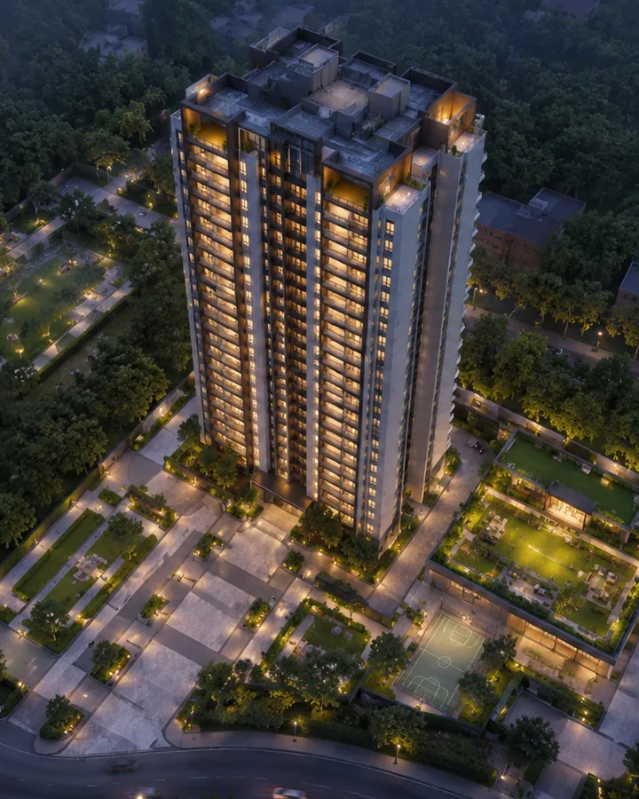
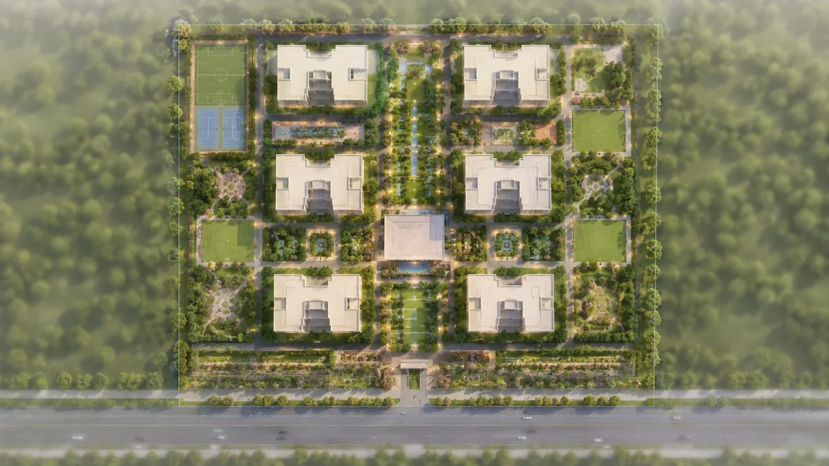
No building specification exists for Urbanrise Begur Koppa Road. Tower count, floor levels, block count, unit count and the configuration mix have not been announced, and this site publishes none of them, not even as a range. That is a deliberate restraint: for a 20-acre South Bengaluru apartment township there is a plausible envelope, but publishing it would put an invented number into circulation that a reader could mistake for a disclosure.
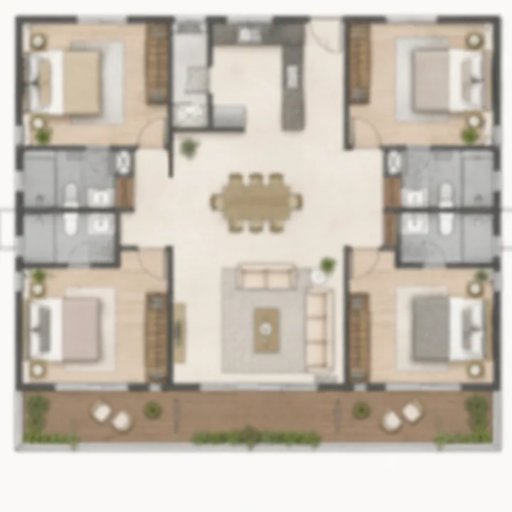
What can be said with reference to the format and to the developer's own book is narrower. Urbanrise's live project registry shows apartment formats of 2 and 3 BHK, or 3 and 4 BHK, throughout its Chennai, Hyderabad and Bengaluru portfolio, with no 1 BHK anywhere — so a 1 BHK should not be expected here regardless of what third-party listings suggest. Every apartment comparable in this micro-market offers a 2 BHK; the nearest one on this road offers 2 and 3 BHK only. A larger format is possible on 20 acres and both large-format comparables in the wider corridor carry one, but no project physically on this road currently sells above 3 BHK, so a 4 BHK is the least supported expectation on the page.
Areas quoted anywhere on this site are super built-up and indicative. No carpet area is published, because carpet area is a RERA-disclosed figure and it will exist only when the registration does.
Infrastructure: what is operating, what is building, and what is only proposed
The corridor's infrastructure story is real but it needs its dates attached, because the marketing in this belt routinely drops them.
Operating now. The Yellow Line (Line 4), RV Road to Bommasandra, was inaugurated on 10 August 2025 and has carried passengers since 11 August 2025 — 19.15 km, 16 stations, about 35 minutes end to end. It is this project's working railhead. Electronic City station is 7.6 km by road, about 12 minutes; Hosa Road is 7.5 km. There is no feeder bus or last-mile service from Hullahalli, Bengaluru to any of those stations, and no station here is walkable.
Building now. The Pink Line (Line 3), Kalena Agrahara to Nagawara, is under construction across 21.26 km and 18 stations. RDSO speed trials have been cleared and an independent safety assessment ran on 5 and 6 August 2026, but the CMRS inspection is pending and the line had not carried a passenger as of 12 August 2026. The elevated Kalena Agrahara to Tavarekere section is targeted for September 2026 after slipping from March, then May, then August 2026. Its Kalena Agrahara terminus is 9.6 km and about 11 minutes from the site, which would make it the closest terminus once it opens and an easier drive than the Electronic City approach. The Jayadeva Hospital interchange, 13.1 km away, is where the Hosur Road and Bannerghatta spines meet.
Proposed, and to be treated as such. A 73 km corridor from Kalena Agrahara to Kadugodi Tree Park via Bannerghatta, Jigani, Attibele and Sarjapur is the only alignment anywhere that would put a station within a few kilometres of Hullahalli, Bengaluru — and it has a completed feasibility study, no detailed project report, no funding and no alignment freeze. The Yellow Line extension from Bommasandra to Attibele is at DPR stage. Suburban Corridor-4, the Kanaka Line, is under construction but slipped from an October 2026 target to June 2029 after the civil contractor exited in March 2025; its Heelalige terminus is 12.6 km east. None of these should be priced into a purchase decision today.
The frontage road itself. Begur Koppa Road is roughly a 30 ft carriageway and should be underwritten as one. The BBMP scheme to widen it has been on the books since 2015 and was reported stalled in October 2020, when landowners refused the Transfer of Development Rights offered as compensation, with no public update since. It is a proposal, not a commitment, and no completion date attaches to it. The scheme's length, cost and land take are set out on the location page.
Road network beyond the frontage. The NICE Road interchange at Kalena Agrahara and Gottigere is about 8 km and 9 minutes; the carriageway itself passes 4.0 km north-west in a straight line but has no access there. The Bommasandra–Jigani Link Road is 7.2 km and about 11 minutes, and is the shortest route to the Bommasandra KIADB estate and Narayana Health City without going via Electronic City. The Satellite Town Ring Road (NH-948A) is about 14 km and 21 minutes by road. Central Silk Board is 13.0 km and about 18 minutes free-flow, realistically 45 to 70 minutes at peak. Kempegowda International Airport is 55.4 km and about 61 minutes free-flow, and an hour and three quarters or more at peak — one of the longest airport runs of any South Bengaluru micro-market, and worth stating plainly rather than burying.
Sustainability: water is the binding constraint at this address
This is the part of the location analysis that deserves the most candour, and it is the reason three of the expected amenities on this page are written more firmly than the rest.
Two documented boundaries govern it. The first is the Cauvery Stage V supply boundary, which was drawn around villages inside the old BBMP limits; Hullahalli, Koppa and Bangipura sit outside it, so a piped Cauvery connection cannot be assumed at this address. The second is the Central Ground Water Board's classification of Anekal as over-exploited — the same status every Bengaluru Urban assessment unit carries, but with a measurable local consequence in falling water tables and tanker dependence in drought years.
A township of this size therefore cannot function without an on-site sewage treatment plant, rainwater harvesting across the site, and treated-water reuse for landscape irrigation. Those three are necessities of the location rather than developer promises, and a buyer should ask exactly how each is provisioned — plant capacity, storage volume, tanker contracts — before committing money. The amenities page works the water question through in full, and the location page gives the boundary evidence with its figures.